CaesNews

Where Science Meets Society

CaesNews

Where Science Meets Society

LDAR Takes Flight in Campus 3D Mapping Project

March 26, 2026

|

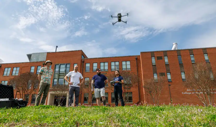
Four people stand on grass in front of a brick building, watching a drone flying above them. One person holds a drone controller, while others observe the flight. The sky is clear with a few clouds.

Thomas Patterson, far left, a data and visualization librarian/assistant professor in the landscape architecture program, watches with program director W. Chris Harrison and Michael Berryann as Momtanu Chakraborty, assistant professor in the biological engineering program, flies a drone over the in the Holland Bowl. The group are using the drone to digitally map a section of campus.

The College of Agriculture and Environmental Sciences’ landscape architecture program is taking to new heights to replicate and assess the university’s campus — and potentially add to homecoming thrills — through drone and AI technology.

The program, housed in the Department of Natural Resources and Environmental Design, is building a “digital twin” — a dynamic, virtual replica of the university — by flying drones across multiple sections of campus with high-resolution cameras.

“This is our most innovative current initiative,” said W. Chris Harrison, assistant professor and program coordinator. Using data and images captured from drones, students can create highly detailed digital models of campus and use that information to better understand how spaces function beyond what is visible to the casual observer. “The point of this is that we can build a replica of the real world and see how the designs that we put forth create environmental and social impacts on the site,” he said.

Supported by an Evans-Allen grant, the project, currently in Phase 1, launched with a demonstration flight on March 11. Harrison and a team of LDAR students performed a digital map of the Holland Bowl, an open area on South Campus centric to three residence halls and Williams Dining Hall, using a DJI Matrice 4E drone and Trimble GNSS equipment for terrain mapping.

“After working with the drones, we will be back later with iPads to scan the area at a base level and reconcile that with the 3D drone footage captured in the air,” said Harrison.

According to Harrison, the program had previously mapped the Holland Bowl with a lower resolution 3D twin in 2015.

Jordan Canal, a senior in the program, spoke to the environmental implications with using the digital twin.
Three people examine a drone controller outdoors in front of a brick building. One man stands between two young adults, who are engaged and pointing at the device while discussing its features.

Jeffrey Kuehner, a lecturer in the landscape architecture program, and student Jordan Canal check drone footage with Harrison, center, as they digitally map a section of campus.

“With the digital mapping, we’re able to look more closely at how water runoff moves throughout sites and erodes soil, trees that may need tending to on campus or areas that require more shade, along with other things like dead spots in grass areas,” said Canal.

Later this year, Harrison said, he would like to see the technology used at one of the university’s biggest events: the 100th anniversary of the Greatest Homecoming on Earth.

For this ambitious project, he proposes loading the current Holland Bowl landscape into the digital twin as an interactive experience. Then, using a tablet, kiosk, or mobile device, visitors could write or speak how they would redesign the space.

The system would use AI to rapidly show what their ideas would look like, while at the same time also showing how their design would perform ecologically and how it would rate socially and aesthetically – would people be able to use it? Would they think it’s pleasant?

The platform could also allow multiple users to collaborate, combine ideas, and contribute personal stories or memories tied to the space.

“These inputs would be archived and could help inform future real-world design decisions,” said Harrison. “In this way, every participant truly becomes a part of the campus design process.”
Read more CAES News

Educators Learn to Connect Agriculture, STEM for Youths  

Educators Learn to Connect Agriculture, STEM for Youths  

Efforts to insert agriculture into children’s science, technology, engineering, and mathematics (STEM) education are gaining steam. Or STEA(g)M, as one N.C. A&T program calls it.
N.C. A&T Celebrates Legacy, Leadership, Second Morrill Act During Ag Awareness Weekend 

N.C. A&T Celebrates Legacy, Leadership, Second Morrill Act During Ag Awareness Weekend 

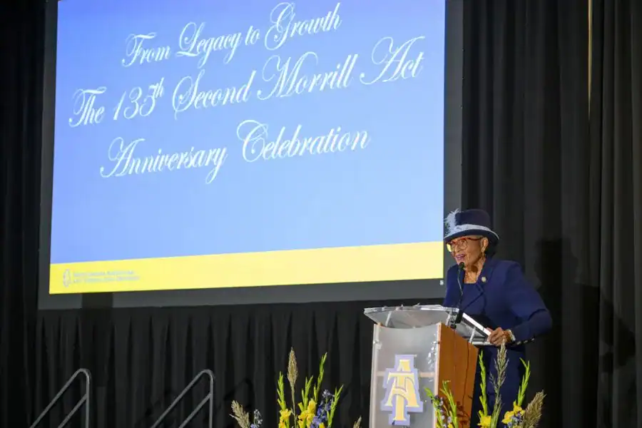
N.C. A&T celebrated 134 years of legacy and leadership as a land-grant institution while also recognizing its contributions to the present during Agriculture Awareness Weekend, an inaugural event held Oct. 24-25 in the College of Agriculture and Environmental Sciences, one of the university’s founding colleges.
Aggies Show Up for JCPenney SUIT UP

Aggies Show Up for JCPenney SUIT UP

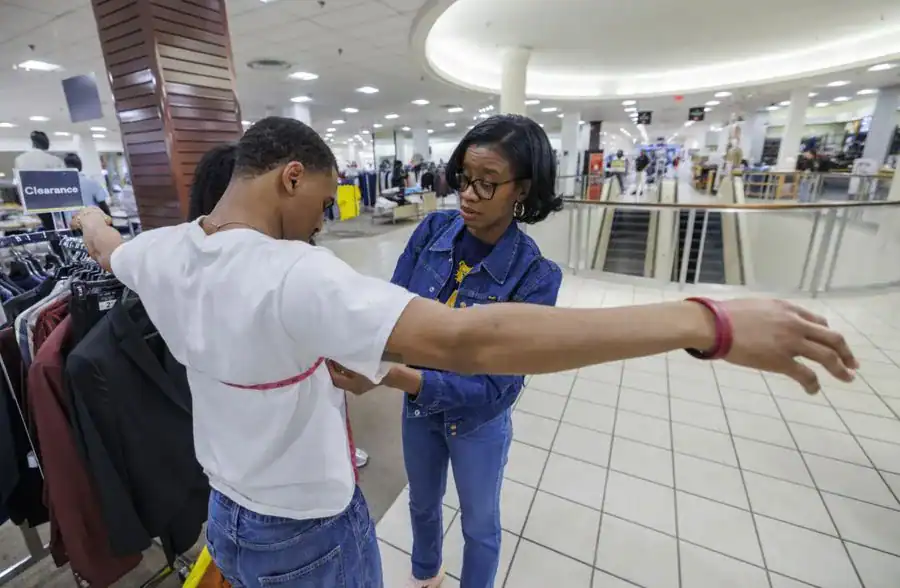
Family and Consumer Sciences students from the College of Agriculture and Environmental Sciences helped N.C. A&T students get the perfect fit at the NC A&T x JCPenney SUIT UP on Feb. 10. Using soft measuring tapes, they measured fellow students to help them determine the right clothing size.
Students from A&T, Grenada, Local Schools Partner on Professional Learning Series

Students from A&T, Grenada, Local Schools Partner on Professional Learning Series

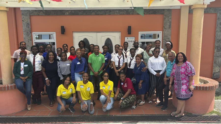
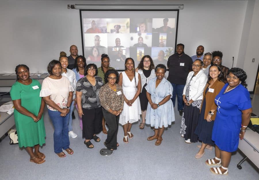
Students from across the College of Agriculture and Environmental Sciences, two North Carolina high schools and Grenada’s T.A. Marryshow Community College collaborated to learn more about leadership skills and career advancement in an eight-week digital and in-person program.
No results found.

Never Miss an Issue

Recent Articles

Extension Exhibit Puts Kids on Speedway to Healthy

N.C. A&T’s Free Lactation Clinic Moves into The Resurgent

N.C. A&T-Led Student Success and Workforce Development Center Holds 2026 Symposium